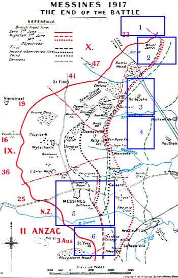
Map 4. Messines Ridge sector, June 1917. This shows the outlines of the battle of Messines Ridge, and some of the details of the German position. The sheer number of targets to be bombarded can be seen on the inset maps.
Source: Maps reproduced from OH 1917, vol. 2, and trench maps inset. Permission to copy and reproduce this electronic version granted by Mr. Mike Iaverone.