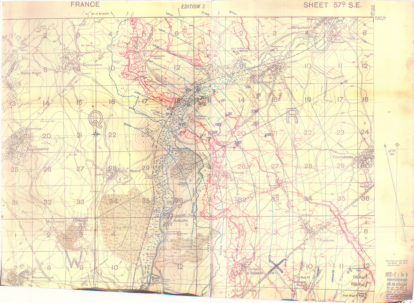
Map 7. Battery map, Somme sector, c. mid-1916 This is typical of the maps that every battery was issued for every position that they occupied. It shows the battery's arc of fire, and the targets within that arc. Along with a registration book, this allowed the battery to engage the targets quickly. While there must have been millions of battery maps produced during the war, this is the only example that I have found, because they were so ephemeral.
Source: Author's collection